Mosquito Mapping and Spraying Case Study
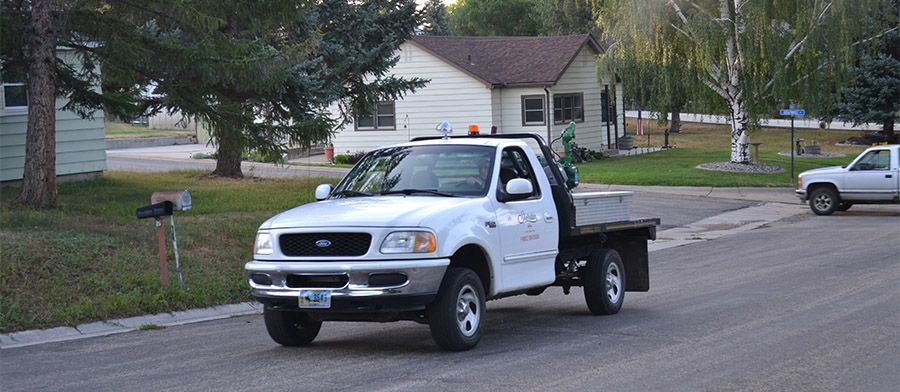
In the spring of 2016, Chad Franklin with the City of Sheridan’s recreation department contacted AgTerra to see how their products could help him better manage the city’s mosquito program. After a tour of AgTerra’s facility and a demonstration of their products, Franklin made the decision to purchase an AgTerra SprayLogger system with the intent of mapping and reporting on his mosquito fogger truck.
“When I first came across the SprayLogger and MapItFast products from AgTerra, I knew that I had found what I was looking for to accurately and effectively track and record the information I needed.” – Chad Franklin
With the help of AgTerra’s user guides, video tutorials and live phone support, Franklin was able to quickly and easily install the equipment on his truck and learn the software to generate his maps and reports.
“With my weed control applications, once properly set up, the programs became a no-brainer. Not only does it track my application rates, but it records detailed travel lines indicating where my crews and I make applications. This provides us with a quick guide to tank mixtures and keeps accurate records for us when in the field and for future reference.” – Chad Franklin

With target locations already marked in MapItFast, field personnel knew exactly where to apply mosquito adulticide.
Franklin was at the height of his 2016 spray season when he first learned about AgTerra and their product offerings. At the time, he was only able to set up his SprayLogger system to finish out the year. In the fall and winter of that year however, he was able to make plans for the 2017 season which incorporated more of AgTerra’s products. As a result, Sheridan’s mosquito control program has enjoyed a highly successful spray season.
“With the mosquito control aspect of our job, the AgTerra programs and hardware have completely outdated the old equipment being used. The products have become a key component in our surveillance, controls and mapping of mosquito breeding grounds. I use the SnapMapper in sync with a tablet device in our mosquito fogging truck to effortlessly track where crews have traveled and pinpointing exactly where adulticide was being applied and where it was not.
Through MapItFast we have established detailed maps of the area with points of reference for mosquito breeding grounds, trap locations, larvicide applications and quality photos. All this information is available at the touch of a button, is portable in the field and assists us from season to season as crews and breeding sources change.” – Chad Franklin
