MapItFast
Elevate Your Mapping and Data Collection
MapItFast is your streamlined field mapping solution—simply use your existing Android or Apple mobile device to record points, lines, and areas in real time. Drop pins, sketch boundaries, snap photos, and sync with your team instantly with a data connection or work offline. It’s intuitive mapping that keeps you focused on getting the job done.

Work Friendly
One Tap to Map
Use a single tap to capture any map data using GPS or hand drawing.
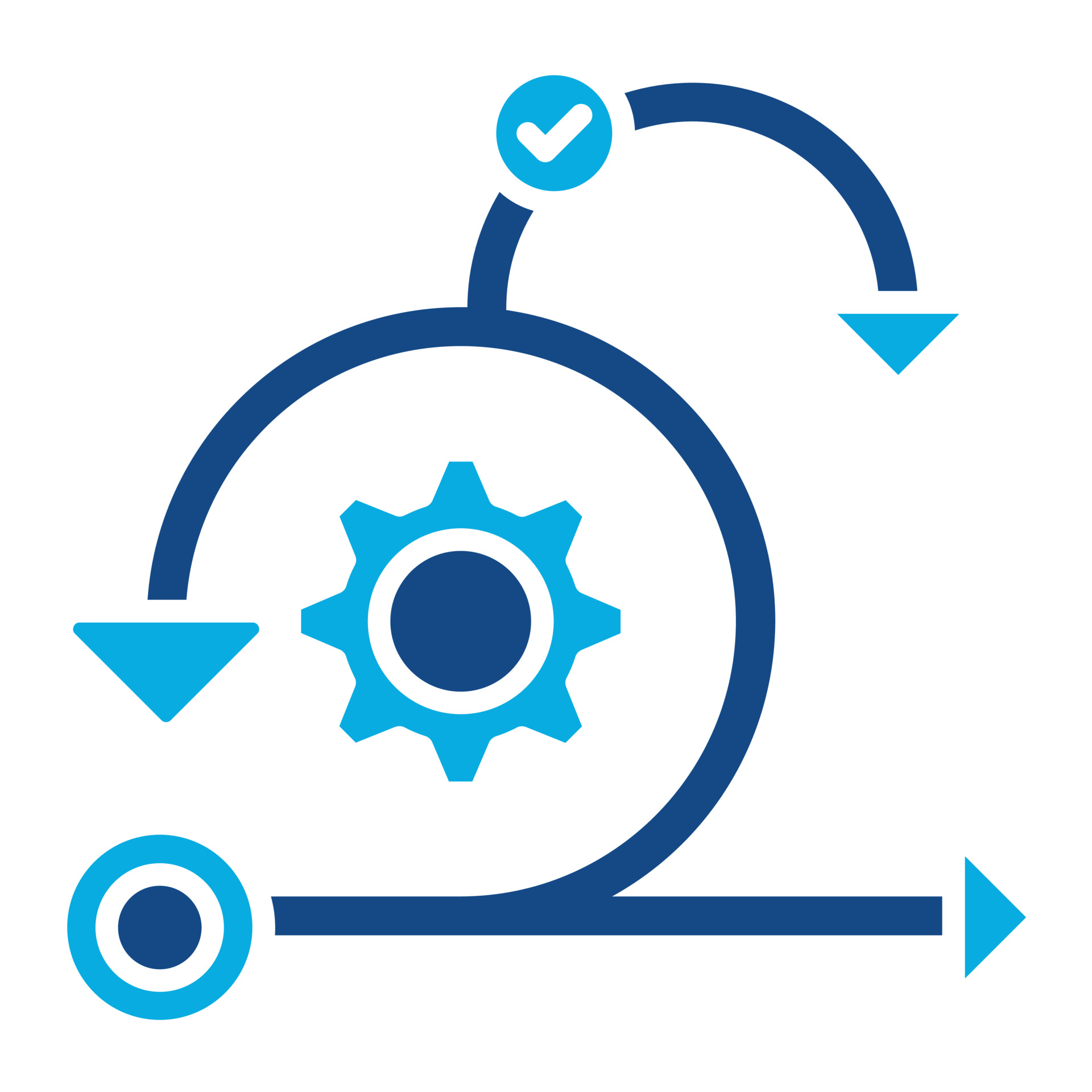
Real-Time Data Sync
Stay up-to-date with seamless syncing across devices and the web.
User-Friendly
Create and access map data with minimal clicks or training.
Offline Data Access
Access and manage your data even in remote locations without internet connectivity.
Real-Time Data Sync
Use your own custom map layers to toggle maps, ensuring your view stays focused on the task at hand.
Multiple Platforms
Accessible on Android, iOS, and desktop devices, ensuring flexibility and convenience for all users.
Features You'll Love
- EONE-TAP MAPPING for points, lines, polygons and geophotos
- EUSE GPS OR DRAW BY HAND GIS features on mobile devices
- ESIMULTANEOULSY CAPTURE points, lines, polygons and geophotos
- EMAP ANYWHERE- no internet connection required
- EATTACH ATTRIBUTES to features using intuitive smart forms
- EIMPORT YOUR OWN Shapefiles, KMZ and Imagery
- ECONNECT WITH OTHER GPS for enhanced location
- ETRACK AND RECORD accuracy, altitude and speed
- ECOLLABORATE INSTANTLY with real-time sync and share
- EGPS CALCULATED area, distance, and latitude/longitude
- EBUILT-IN MAPS including satellite, street and topographic
- ERAPID INPUT AND STYLING using custom text and symbols
- EDATA-DRIVEN MAP and easy-to-generate reports
- EAUDIO AND VISUAL GEOFENCE ALERTS for real-time notifications
- EMULTIPLE PLATFORMS- Android, iOS and web browsers
- EDATALOGGER COMPATIBLE with ActionMapper and SnapMapper
- ESECURE, CLOUD-BASED access, storage, security and backup
- EGIS EXPORT with shapefile and KMZ formats
See MapItFast in Action
Watch our video to learn how MapItFast can simplify mapping so you stay focused on the task at hand
Your Data, Your Way
Manage concurrency, data integrity, and real-time updates across multiple platforms.

Any Device
MapItFast is accessible on Android, iOS, and desktop devices, ensuring flexibility and convenience for all users.
Synchronized in Real-Time
All your data is seamlessly synced to the cloud, enabling real-time updates, access from anywhere, and secure protection.

Third Party Software Support
With powerful APIs, MapItFast effortlessly integrates with a wide range of third-party software, ensuring seamless compatibility and enhancing your existing workflows.
AgTerra Product Integration
MapItFast is the foundation for AgTerra’s products, including Strider Forms and SprayLogger, providing the flexibility and scalability to grow your operations.
Being able to go into the MapItFast system and easily click on a point, line or polygon…. being able to GPS where we had been and take notes… all of that was super user friendly.
Comprehensive Support Services
AgTerra’s dedicated, real-person support ensures you’re up and running fast while making the most of every MapItFast feature.
Training and Workshops
Empower your team with expert-led training sessions tailored to your needs. Virtual and in-person training is available.
Technical Support
AgTerra offers prompt assistance from a real person during business hours, Monday through Friday. Reach out to our dedicated support team whenever you need help!
Online Support
Access our extensive online help library with detailed documents and videos 24 hours a day.
Consultation & Development Services
Elevate your project to new heights. Collaborate with us to develop custom solutions tailored to your unique needs, designed to integrate seamlessly with our products.