Accurate Maps, Smart Data, Real Results
Transforming Field Work In Agriculture And Natural Resources
Agriculture
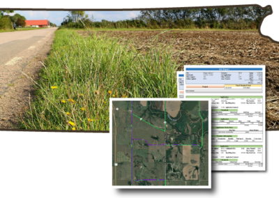
Providing agribusinesses worldwide with maps, digital forms, and data platforms.
Natural Resources
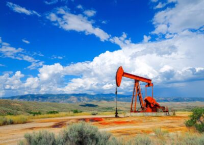
Effective resource management for forestry, water, range, wildife and more.
Infrastructure
Aiding safe, reliable transportation and utilities through targeted vegetation control.
AgTerra provides mapping, data collection, and reporting solutions for industries like agriculture, forestry, vegetation management, invasive species management, and conservation. Our easy-to-use apps help field professionals focus on the job while streamlining field operations, improving decision-making, and ensuring compliance.
Used Everywhere
GIS and data collection solutions for the agriculture and natural resource industries
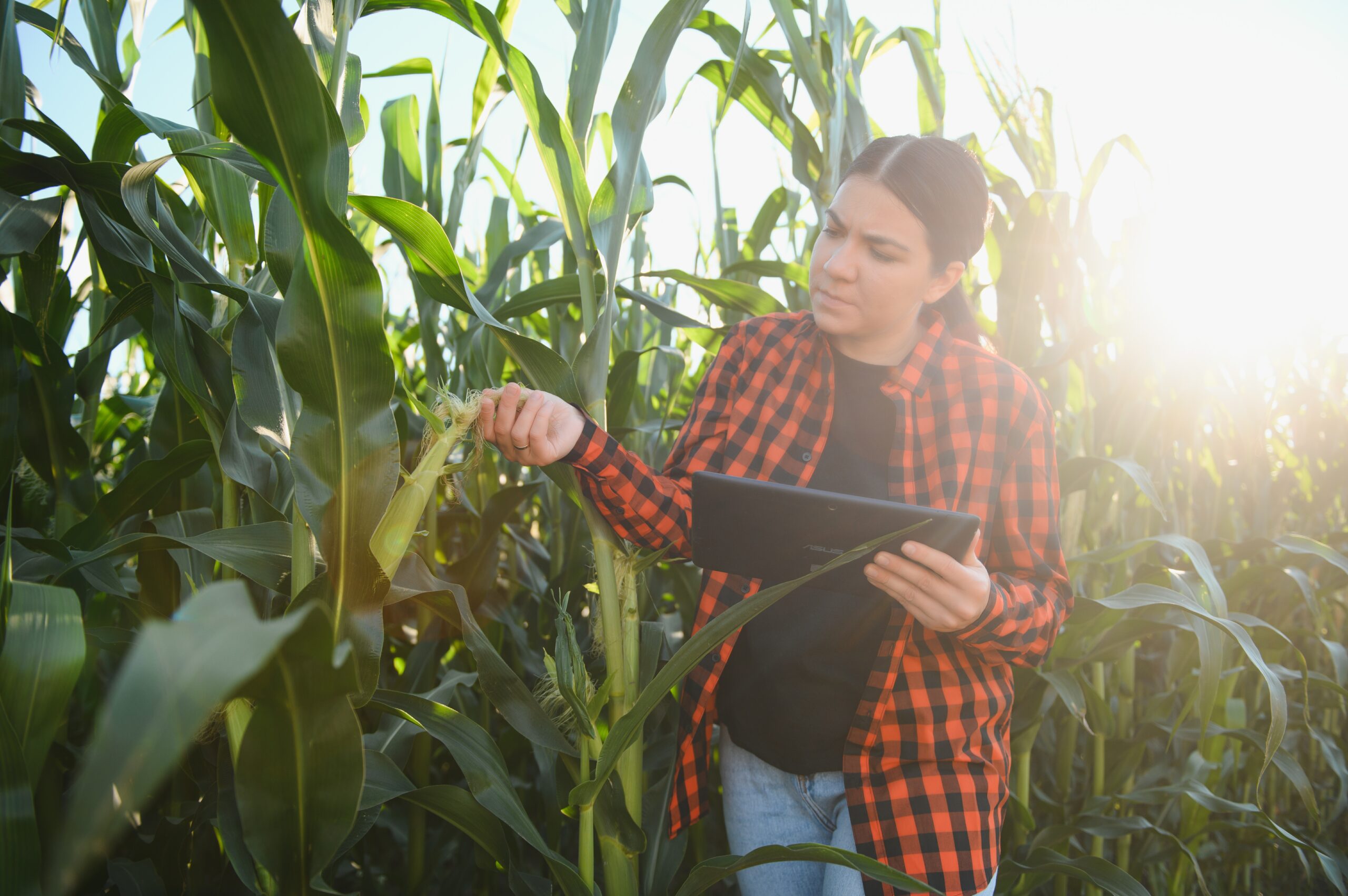
Agriculturists
Enhance crop management with precise mapping and data collection tools.
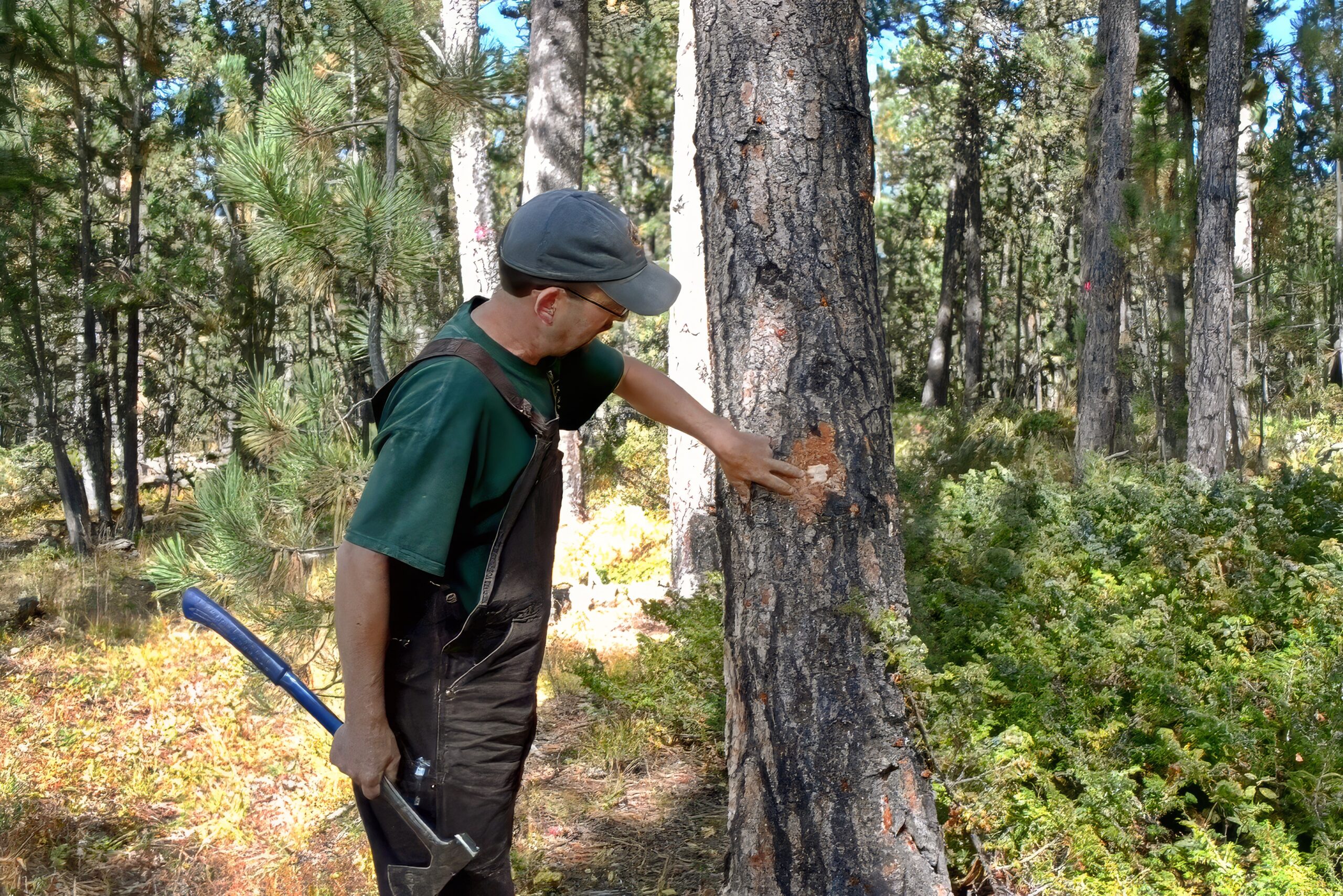
Foresters
Streamline forest management with real-time data and mapping capabilities.
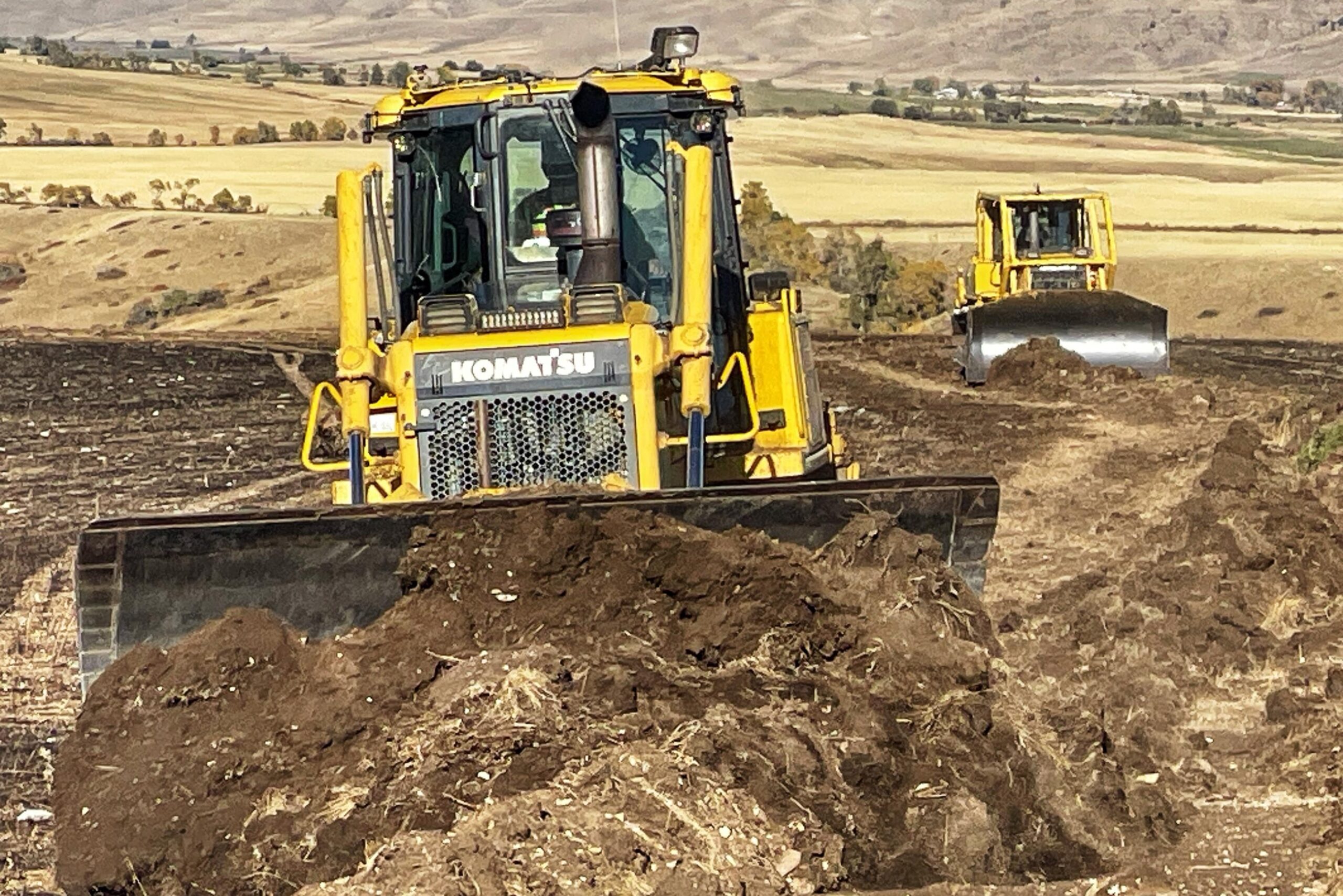
Reclamationists
Empower reclamation teams: capture, map, share real-time data, streamline projects.
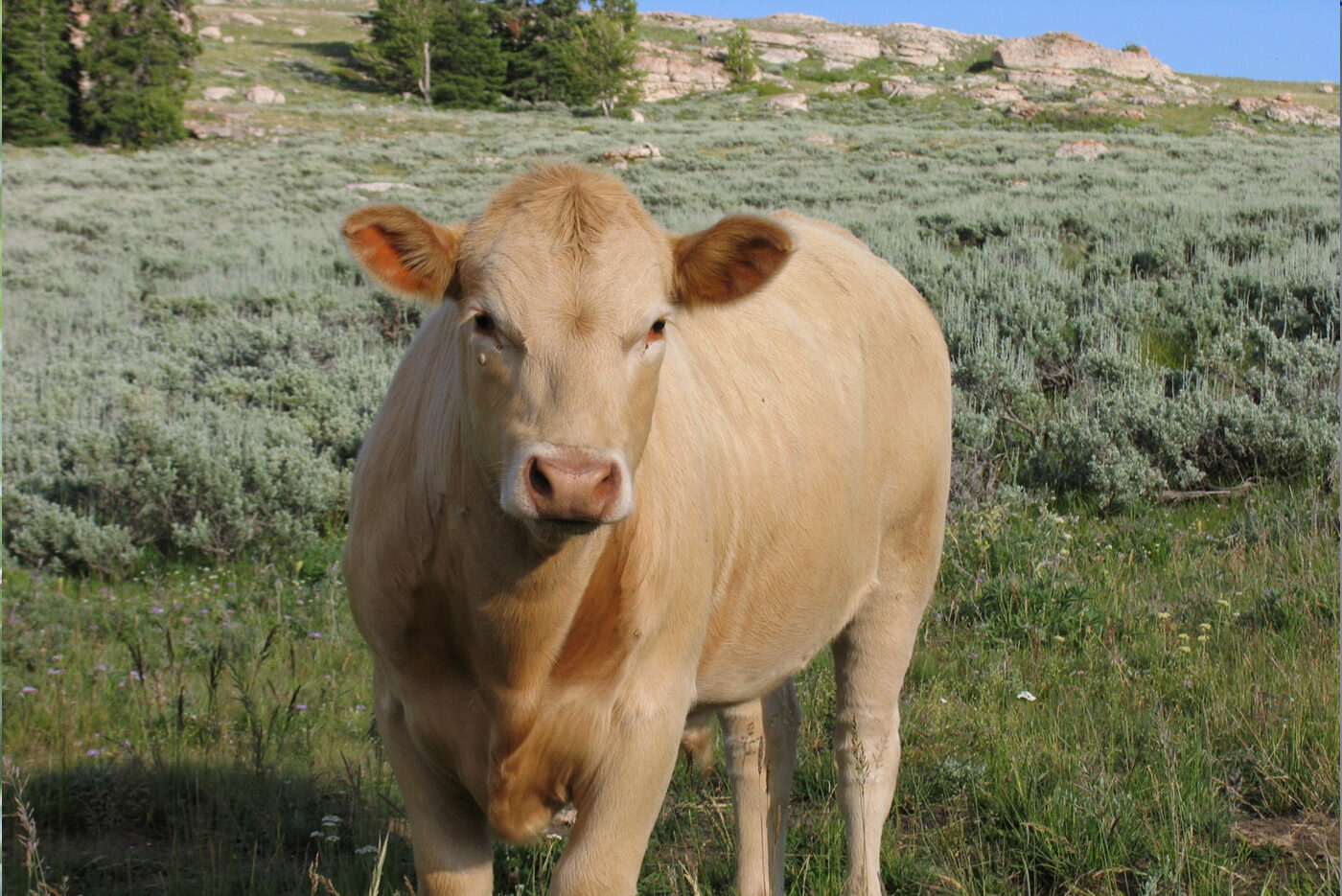
Range Managers
Map vegetation, water sources, grazing data, enabling efficient land stewardship.
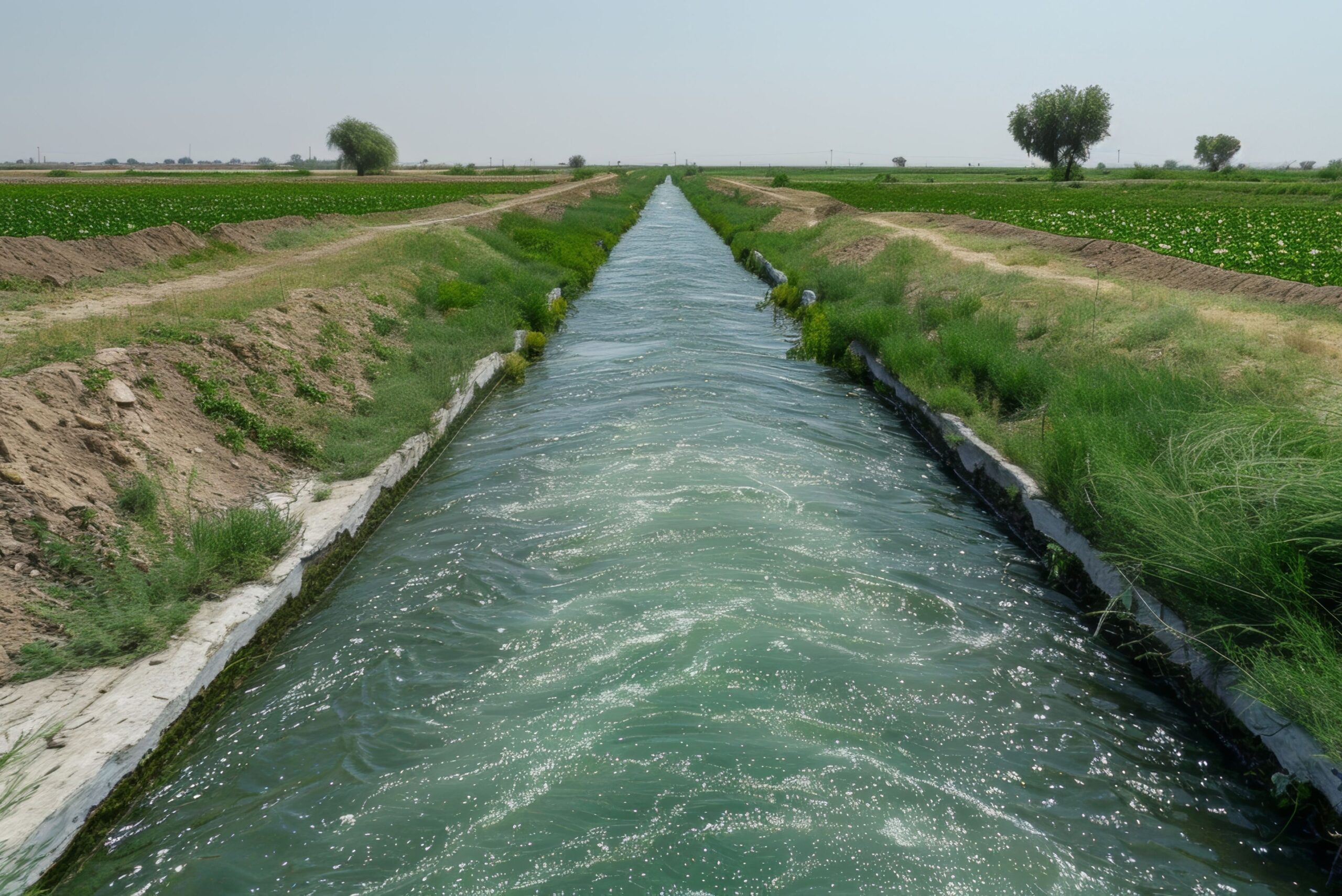
Water Managers
Improve water management and distribution with detailed mapping insights.
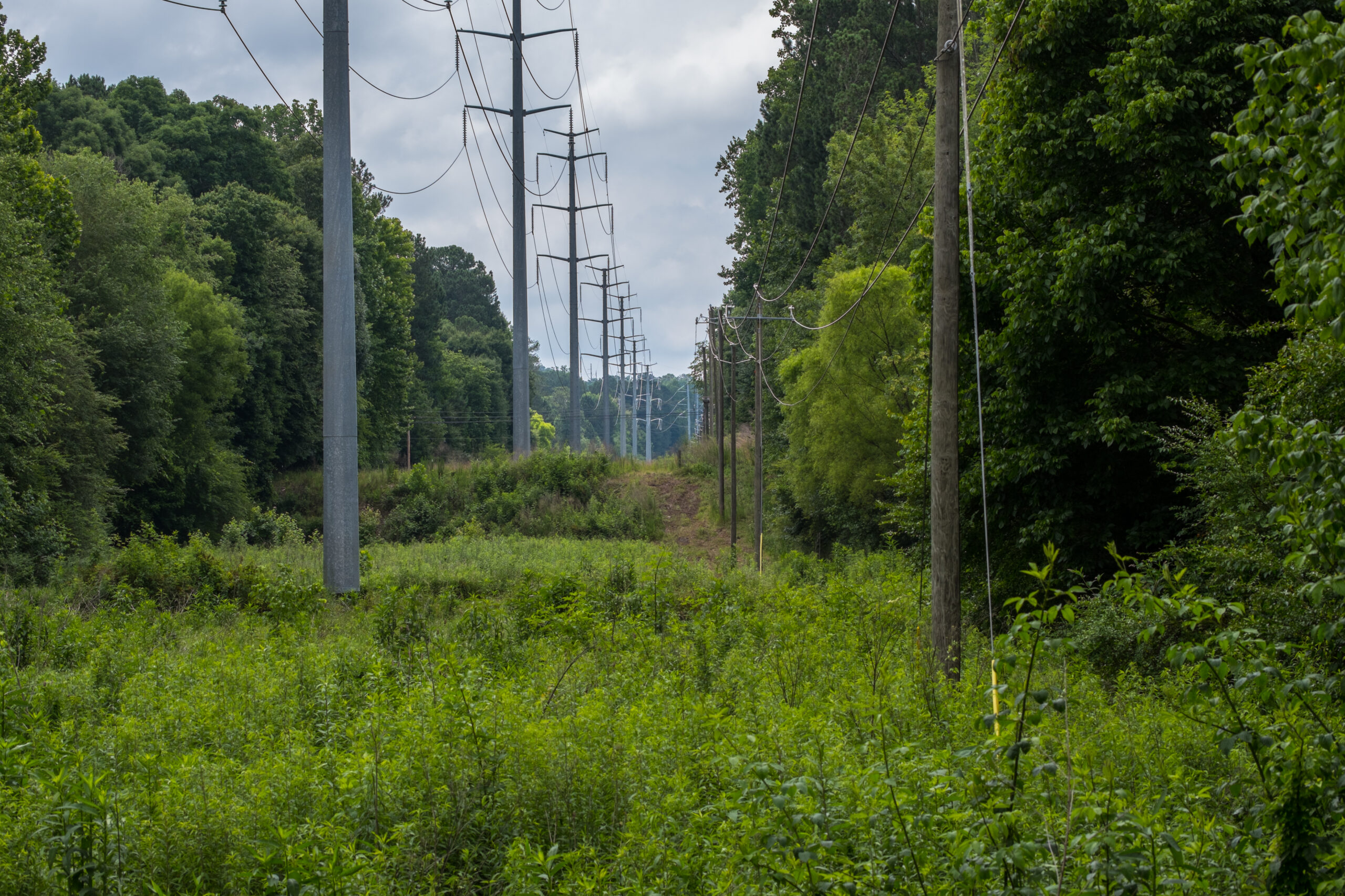
Arboriculturists
Boost efficiency, safety, resource allocation in corridor vegetation management.
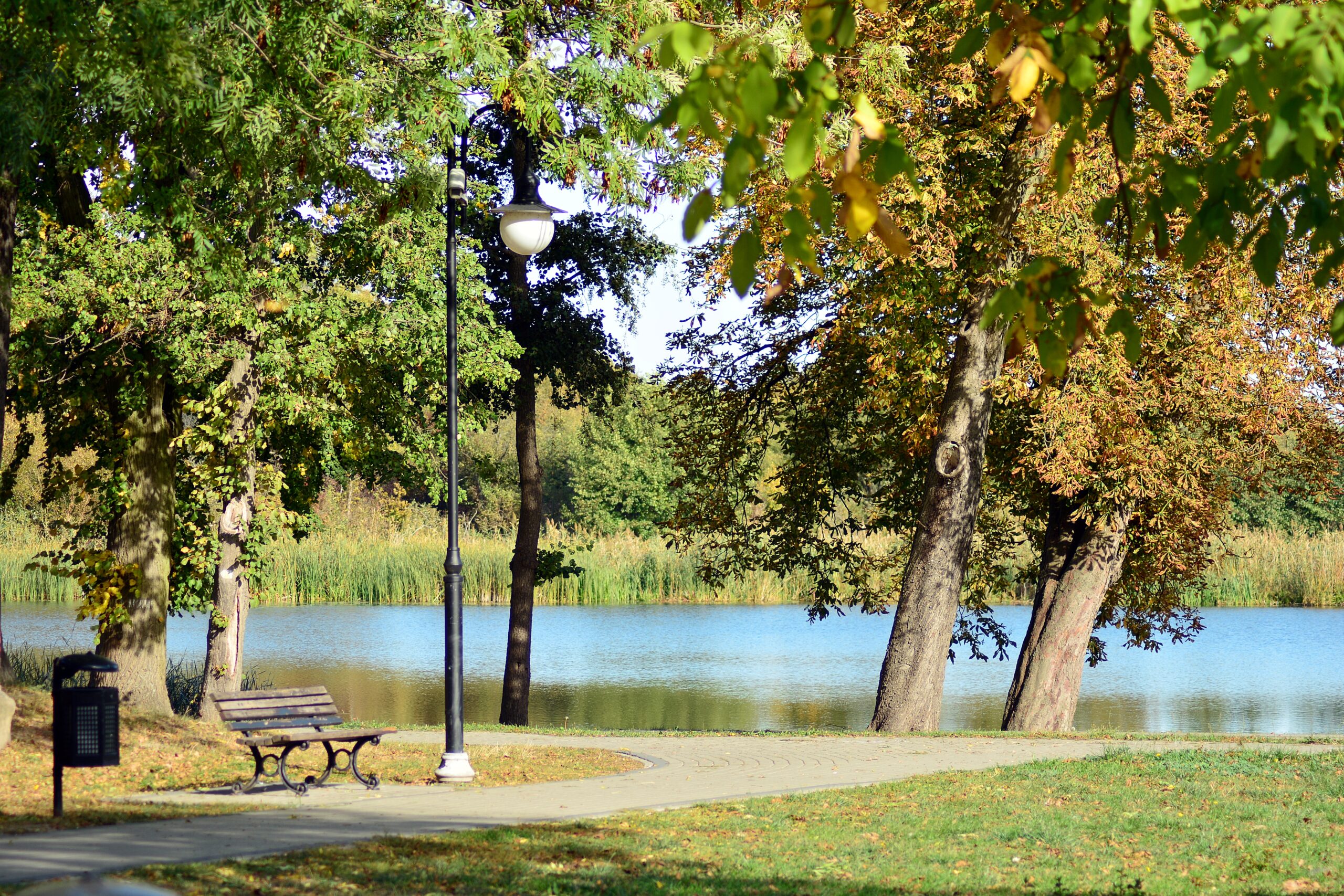
Park Managers
Streamline operations, resource management, and maintenance
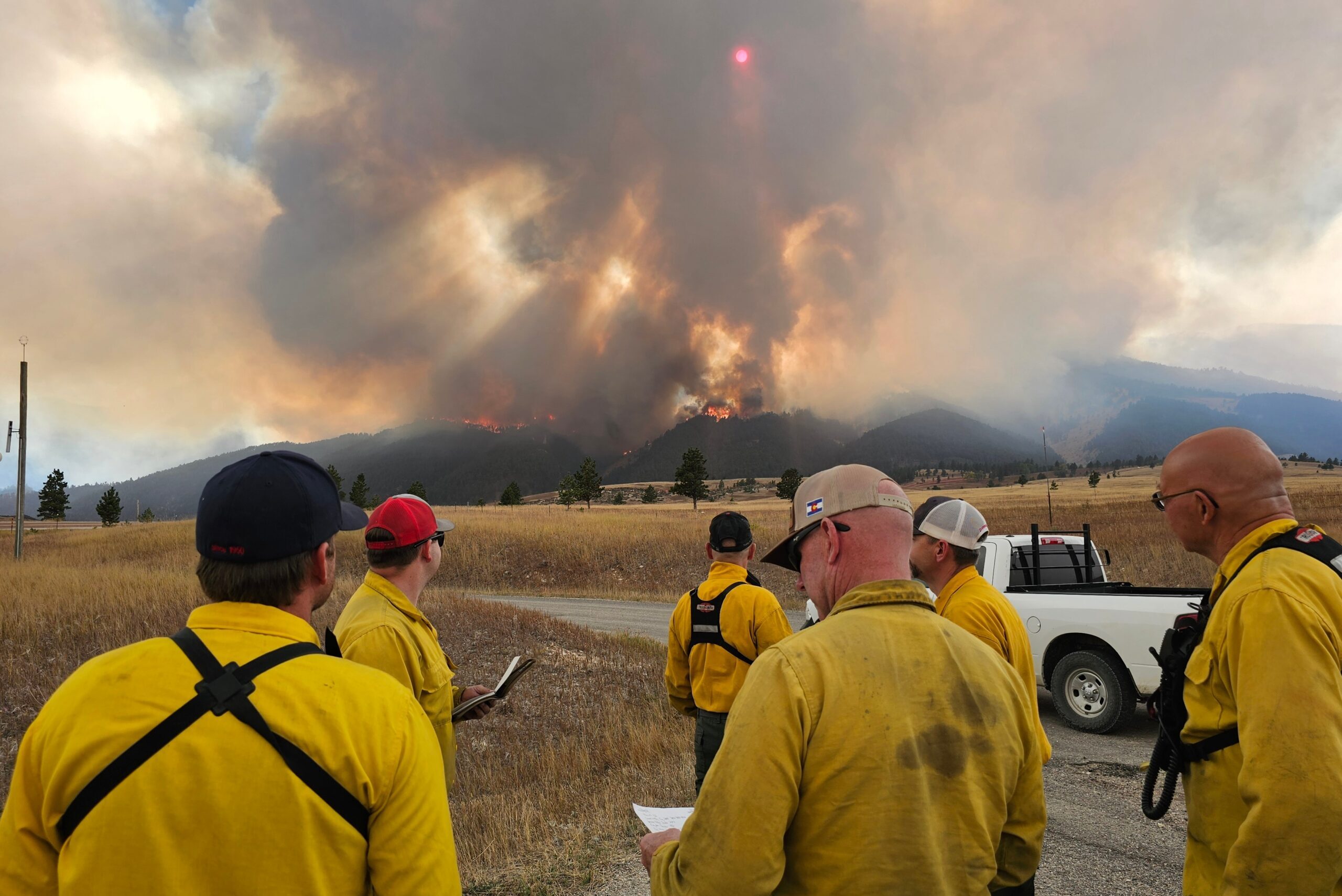
Wildland Firefighters
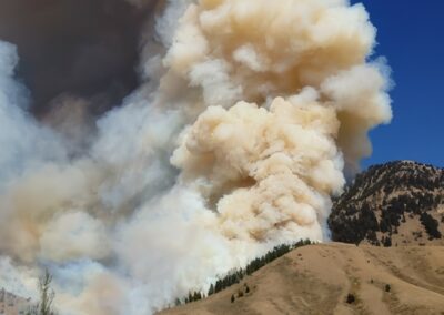
Manage resources while providing safety for firefighers and the community in real-time.

Wildlife Managers
Leverage digital maps to locate habitats, monitor, and ensure effective management.

Urban Foresters
Guide tree inventories, health checks, maintenance and resources.

Vector Control Specialists
Pinpoint breeding sites and guide targeted mosquito control measures effectively.
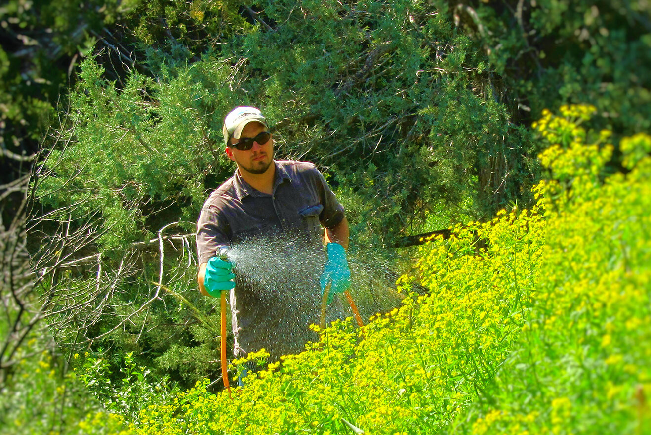
Pesticide Applicators
Locate weed hotspots and document precise pesticide application and control.

Environmental Engineers
Georeference site data and streamline environmental compliance and analysis.

Field Inspectors
Facilitate infrastructure reporting and maintenance with MapItFast’s “one tap to map”.
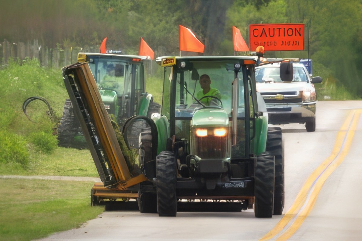
Mowing Operators
Use digital maps to track current mowing operation status across infrastructure.
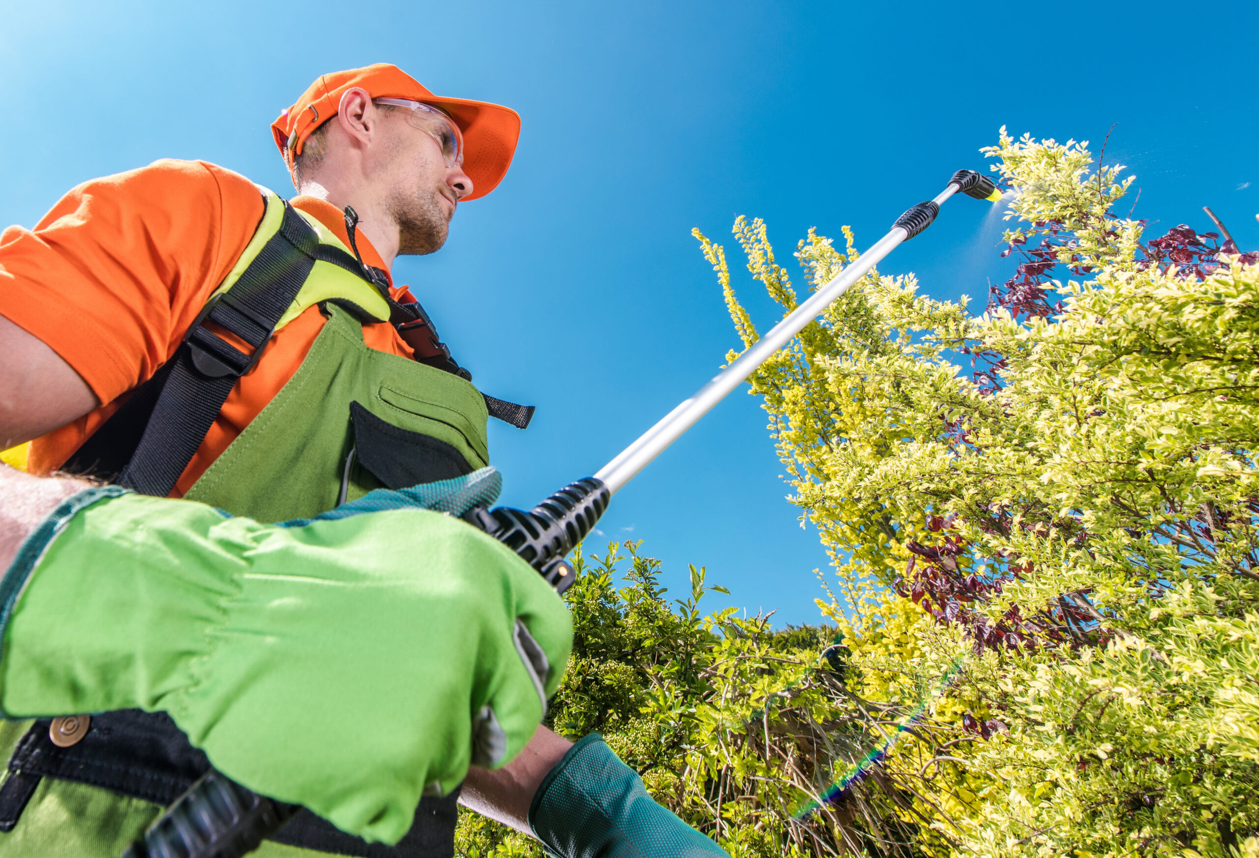
Vegetation Managers
Use mapping and data collection to visualize contractor activity in real-time.

Landscape Designers
Track conditions, simplify upkeep, optimize turfgrass and landscape planning.
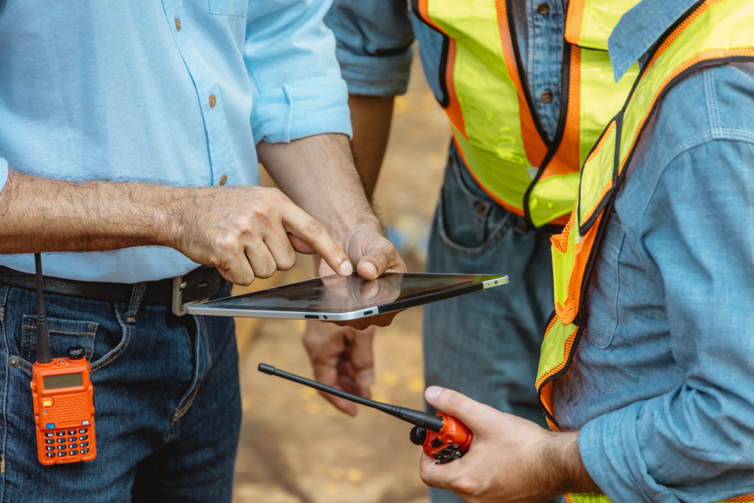
Construction Workers
MapItFast centralizes onsite data, tracking construction progress and compliance.
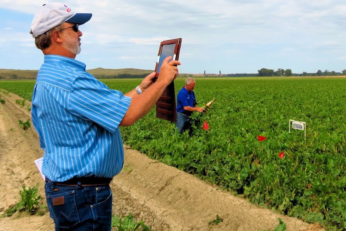
Agriculture Researchers
Researchers use MapItFast to document variety performance by location.
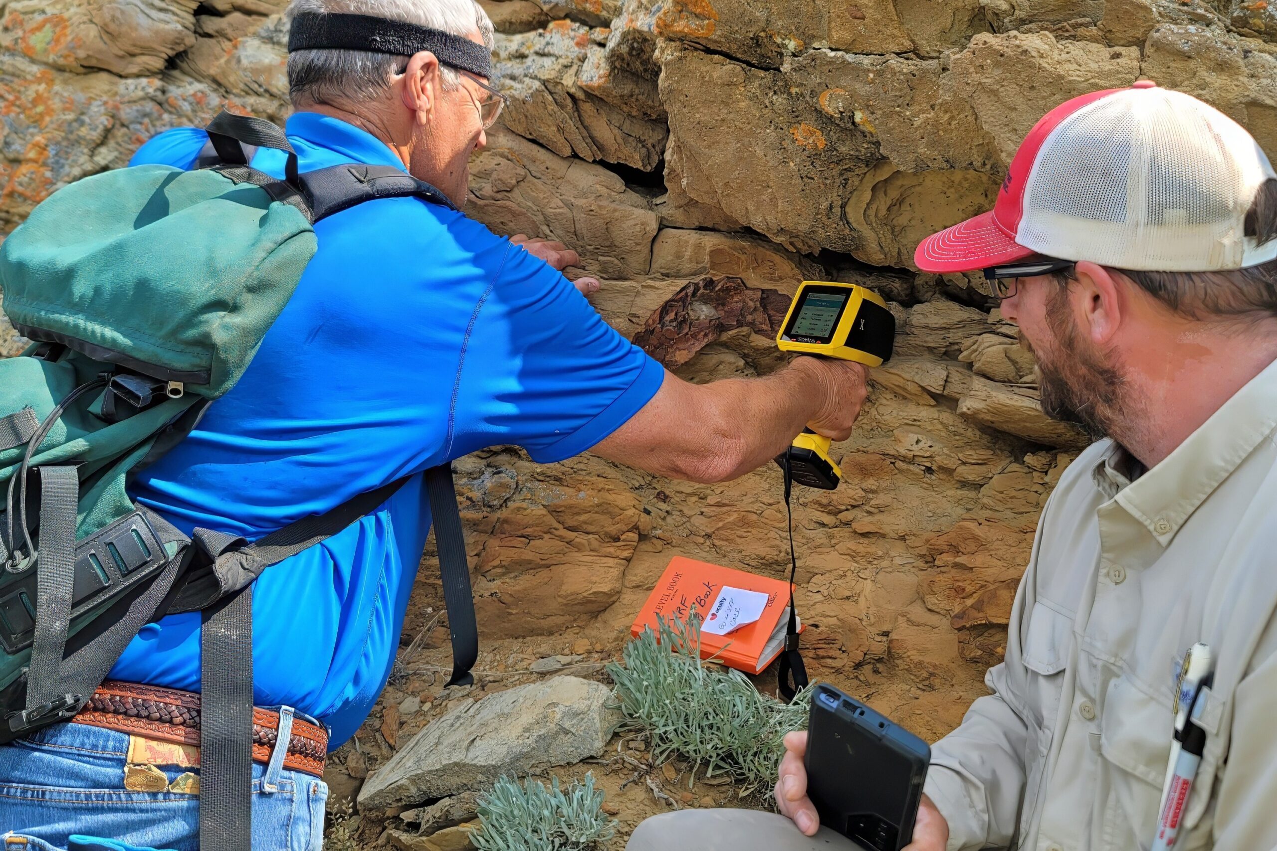
Paleontologists
The hardest part of what we do is accurately translating what we do in the field for our customers. Being able to track it properly and see it in real-time means I can translate issues, resolve them, and then report back to the customer.
