Road to Results
How Shuterra Streamlined Roadside Vegetation Management with AgTerra
OVERVIEW
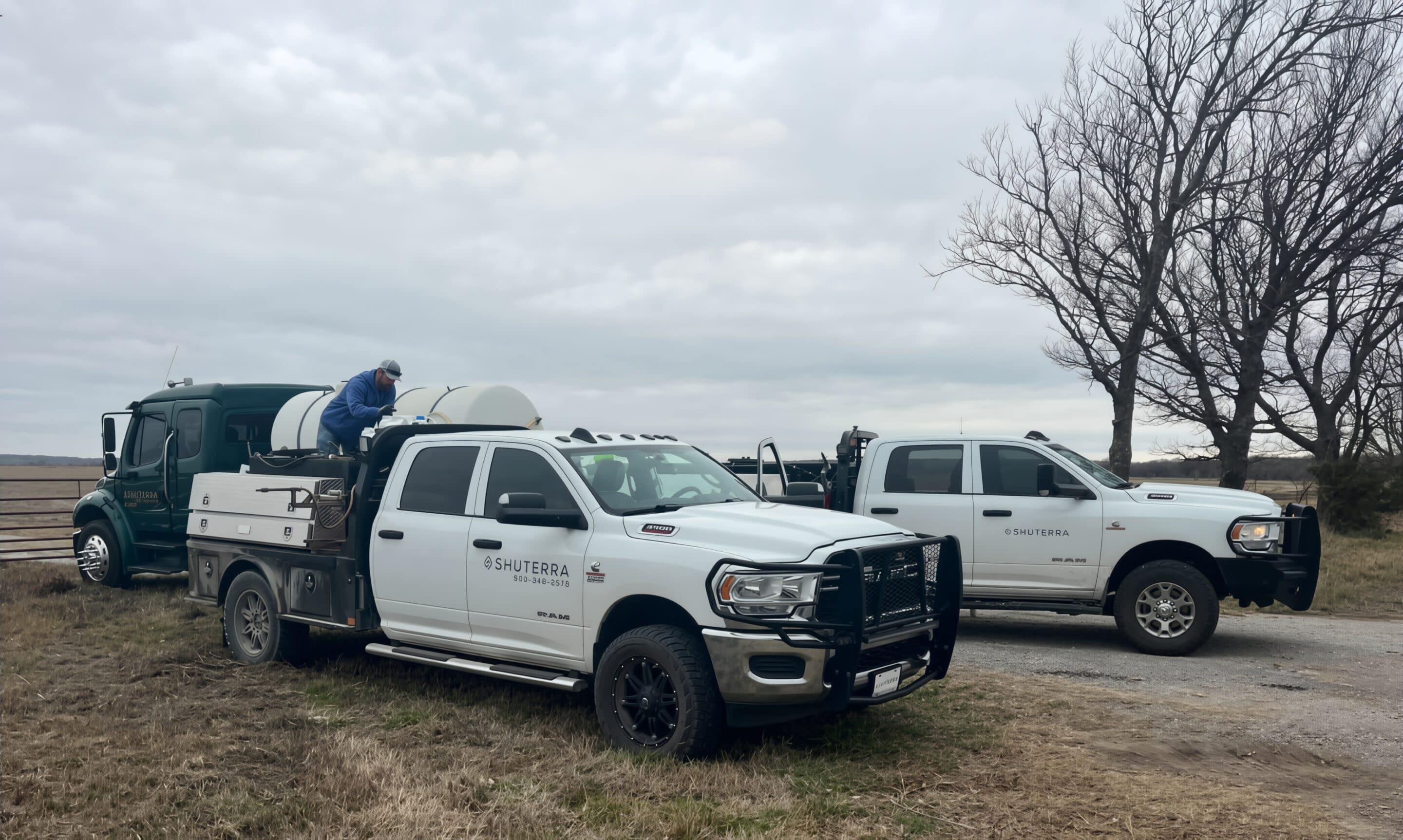
Shuterra LLC manages hundreds of miles of roadside and right-of-way vegetation programs across Oklahoma and Arkansas, operating under strict government reporting requirements. As their operations expanded, they needed a more efficient, transparent way to collect and share data from the field—one that could handle the scale and accountability required by county and state contracts.
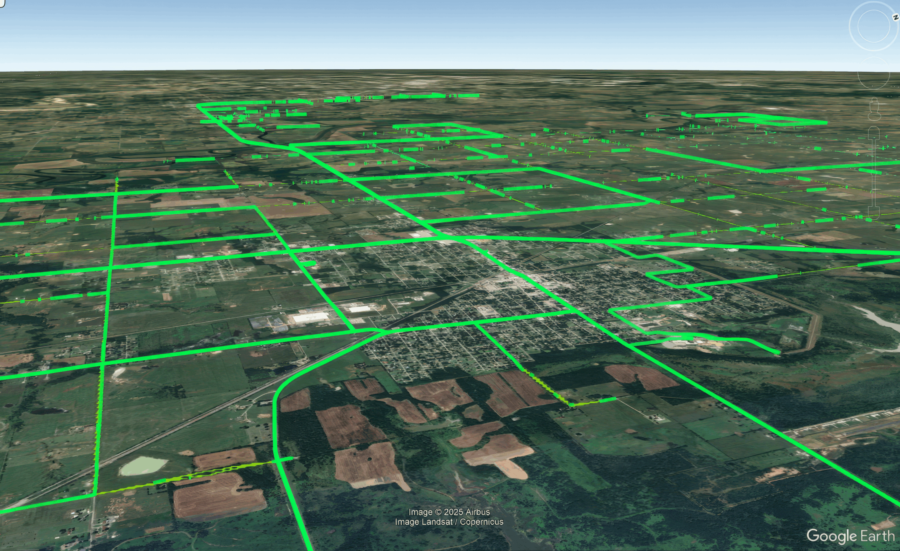
Using mapping, smart forms and data loggers and from AgTerra Technologies, Shuterra modernized their field data workflow, transforming manual recordkeeping into a fully integrated, cloud-based system for mapping, application logging, and reporting.
CHALLENGES
Before AgTerra, Shuterra’s crews relied on truck-based applications, paper forms, manual data entry, and disconnected GPS data. This made it difficult to standardize records, accurately track herbicide usage, and produce timely reports for county and state officials. The company needed a single, cloud-based solution to integrate mapping, application, and reporting. As Brady Neal, Co-Founder and CEO of Shuterra said “We needed a cloud-based system that could integrate mapping, application, and reporting into one workflow-something built for the scale and accountability required in government contracts and AgTerra has just the perfect solution.”
“We needed a cloud-based system that could integrate mapping, application, and reporting into one workflow—something built for the scale and accountability required in government contracts.”
THE SOLUTION
Shuterra discovered an ideal solution modernizing outdated methods to streamline mapping and reporting processes. By implementing AgTerra’s suite of field tools—SprayLogger, MapItFast, and ActionMapper—they enhanced timeliness while delivering precision, automation, and real-time visibility to every roadside application.
- SprayLogger: Automatically logs every application with precise location, time, and weather data, simplifying recordkeeping and protecting Shuterra and its partners from liability by documenting compliance and accuracy.
- MapItFast: Enables teams to create, view, and share live project maps. Crews can instantly log, visualize, and report progress, replacing manual documentation.
- ActionMapper: Connects records directly to performance standards in Shuterra’s Integrated Vegetation Management (IVM) contracts, giving compliance teams instant insight into completed and scheduled work.
Together, these tools reduced administrative work, improved data, and made quarterly reporting for their clients significantly easier.
RESULTS
Since implementing AgTerra’s technology, Shuterra has seen measurable improvements including:
- Reporting time reduced by over 50%: Quarterly IVM reports now take hours instead of days.
- Improved accountability: Every application is tracked and verified with GPS precision, building trust with county commissioners and state partners.
- Operational efficiency: Real-time data has optimized route planning, fuel usage, and chemical inventory management across multiple crews.
“For us, AgTerra has become the operational backbone of our company. It’s reliable, easy to train on, and flexible enough to support large-scale county maintenance programs. If another company in the vegetation management industry is considering AgTerra, I’d simply say: it’s not just software—it’s a system that allows you to prove your performance and scale your operations responsibly.”

CONCLUSION
Shuterra has transformed how roadside vegetation management data is collected, verified, and shared by using integrated mapping and reporting tools from AgTerra. The company now functions with enhanced transparency, accuracy, and confidence, providing high-quality results to clients and staying ahead of regulatory requirements. Brady emphasized, “For any company in the vegetation management industry contemplating AgTerra, I’d say it’s not merely software—it’s a comprehensive system that enables you to demonstrate your performance and expand your operations responsibly.”
